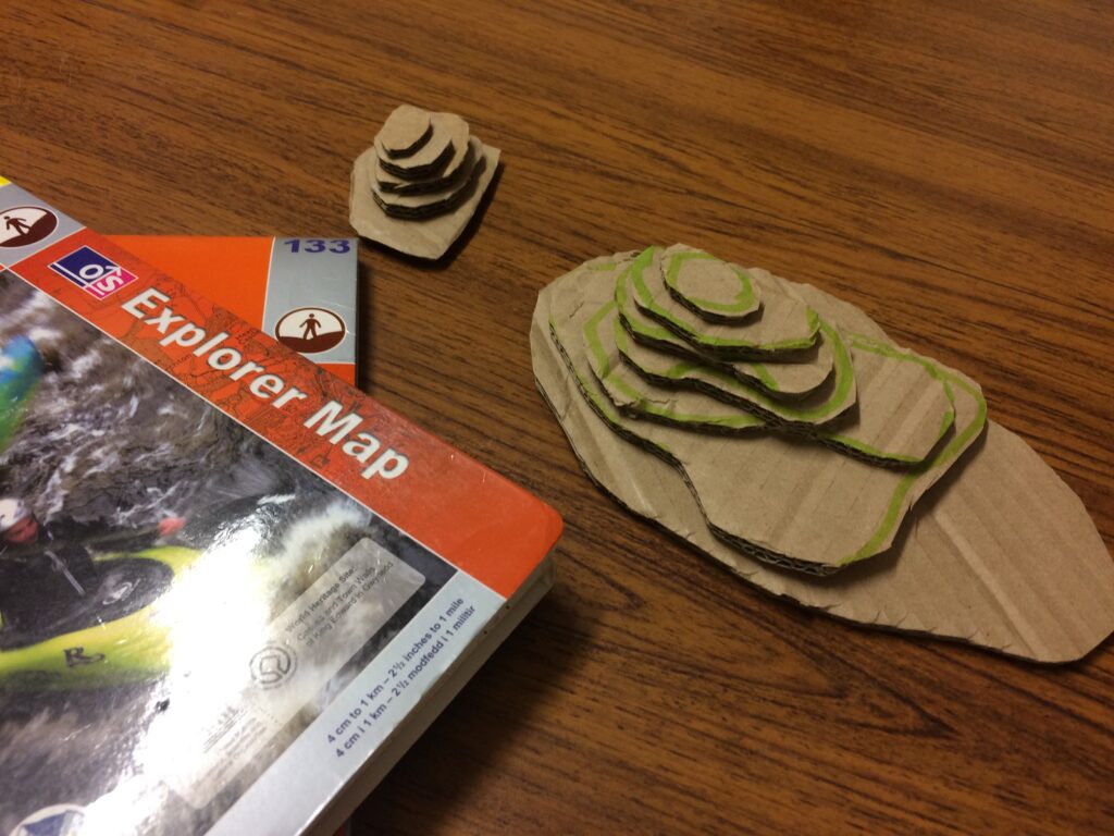
To start, have some maps available and ask the group to have a look at each map and see what they can identify. If the map is of your local area, ask them to find some points of interest e.g. their school, the library, where the group meet etc.
Once the group have identified some landmarks ask them to try and identify contour lines – which show a 3-dimensional landscape on a flat piece of paper.
Ask them to find a hill on their map and (roughly) copy shape of contour lines onto corrugated cardboard – then cut out and assemble to build a model of the hill, stick together with PVA.

Alternatively copy/trace from the handout.
Discussion questions
- Which would be the best way to walk up your hill?
- Which way would take the longest?
- Who has chosen the steepest hill?
